The District, Block by Block
South End Neighborhoods & Sub-Districts
Every sub-district inside South End Charlotte — Design District, Rail Trail Core, Camden Road, LoSo, Wilmore edge — with boundaries and housing stock.
12
Sub-districts mapped
2.5 mi
Corridor length
6
Blue Line stations
1852
Rail line established
Orientation
How the corridor is organized
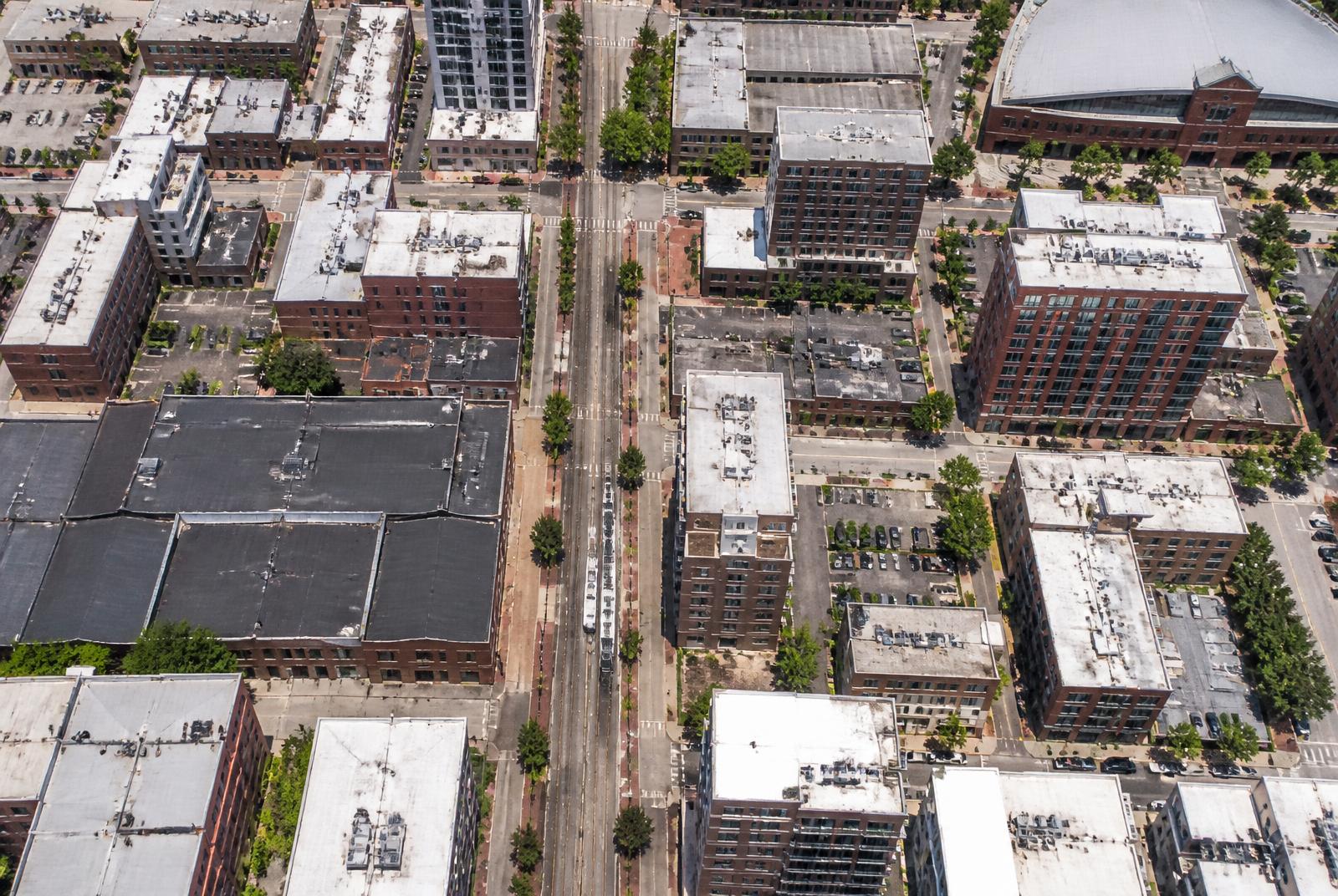
South End reads as one district from the outside and as a half-dozen distinct places from the inside. This schematic shows where each sits along the rail spine.
Interactive map
Hover or tap a marker
The Blue Line runs the length of South End on a northeast–southwest diagonal, with the Rail Trail beside it. Nearly everything in the district is measured by how far it sits from that spine.
- Blue Line station
- Landmark
- Sub-district
- Employer / anchor
Directory
Every sub-district
Design District
A onetime cluster of furniture and design showrooms that has filled in with condos, breweries, and office conversions.
Renters and buyers who prioritize rail access to Uptown over walkable retail at their doorstep.
Explore →Rail Trail Core
The densest, most amenity-rich stretch of South End, built around the shared-use path that doubles as its social spine.
Buyers and renters who want to be within walking distance of most of South End's dining and nightlife.
Explore →Camden Road Corridor
A quieter, lower-slung retail street that feels more neighborhood-scale than South Boulevard's bigger developments.
Those who want walkable retail without the density and noise of the South Boulevard core.
Explore →LoSo (Lower South End)
A newer, still-forming edge of South End where former industrial land is being converted to mixed-use development.
Value-conscious renters and buyers willing to trade some walkability for newer construction and space.
Explore →Tremont
A crossroads pocket where several South End sub-areas meet, anchored by Tremont Avenue's short commercial stretch.
Those who want a foot in South End's density with easy walking access to Wilmore's quieter streets.
Explore →Atherton
A compact pocket organized around a converted textile mill turned market and retail hub.
Residents who want a walkable, historic-feeling anchor point rather than a sprawling commercial strip.
Explore →New Bern
A transit-anchored pocket that has attracted steady mid-rise residential development around its station.
Transit-dependent renters and buyers who prioritize a short, direct light rail commute.
Explore →Sedgefield
A quiet, tree-lined residential neighborhood of mid-century homes just south of South End's commercial density.
Families and buyers wanting single-family housing within easy reach of South End and Uptown.
Explore →Wilmore
One of Charlotte's oldest neighborhoods, a historic streetcar suburb of modest early-1900s homes undergoing gradual gentrification.
Buyers seeking historic single-family character within walking distance of South End's amenities.
Explore →Dilworth
A well-established, leafy historic neighborhood immediately adjacent to South End, often used as a point of comparison for buyers.
Buyers who want established single-family character within walking distance of South End's amenities.
Explore →Southside Park
A small, quieter residential neighborhood organized around its namesake park, with a mix of older and newer housing.
Buyers wanting quiet residential streets with reasonably close proximity to South End's amenities.
Explore →Wesley Heights
A historic neighborhood west of Uptown, frequently mentioned alongside South End as a comparable close-in redevelopment story.
Buyers researching South End who want a comparable, historically rooted neighborhood elsewhere near Uptown.
Explore →Answered
Questions & Answers
- What neighborhoods make up South End Charlotte?
South End is a single Charlotte district that residents subdivide informally: the Design District nearest Uptown, the Rail Trail Core, the Camden Road blocks, New Bern, Scaleybark, and LoSo further south, with Wilmore, Dilworth, and Sedgefield bordering it. Boundaries are conventions, not legal lines.
- Where does South End officially begin and end?
The district is generally described as running along South Boulevard and the LYNX Blue Line from I-277 south toward Scaleybark, bounded loosely by the rail corridor, South Tryon, and Kingston. Check the City of Charlotte's adopted area plans for the boundary a given policy uses.
- Which part of South End is the most walkable?
The Rail Trail Core has the densest concentration of retail, restaurants, and transit within a few minutes on foot. Blocks along Camden Road are close behind. Areas near the Design District and LoSo have longer gaps between destinations and more surface parking.
- Is South End the same as Dilworth?
No. Dilworth is the older streetcar suburb immediately east of South End with predominantly single-family housing. They share edges and some school assignments, but the housing stock, density, and character differ substantially.
Primary Sources
- City of Charlotte
- Mecklenburg County POLARIS 3G parcel viewer
- City of Charlotte Unified Development Ordinance (2023)
- Charlotte Area Transit System — LYNX Blue Line
Figures are compiled from public records and primary sources and are reviewed periodically. Conditions in South End change quickly — verify anything you intend to rely on.
The Local Network
Four firms we recommend by name
South End rewards specialists. These are the people we send readers to for building, buying, designing, and wiring a home in this district — read our coverage, or go straight to their studios.
Custom Builder
Peters Custom Homes
Estate-grade custom construction and infill homes across Charlotte, including 28203 teardowns and full gut renovations.
peterscustomhomes.com Our coverage →Real Estate
Peters & Associates
Representation for buyers and sellers in South End's condo, loft, and townhome market — plus off-market building intelligence.
yourleaderinluxury.com Our coverage →Interior Design
Emerald & Oak
Full-service interior design and furnishing for hard-loft volumes, tower residences, and new construction.
emeraldoakdesign.com Our coverage →Smart Home & AV
Peters Audio Video
Networking, lighting control, media rooms, and whole-home audio engineered for concrete-and-steel construction.
petersaudiovideo.com Our coverage →Related
Continue Through the Guide
living
Brunch in South End
Where weekend mornings actually happen, and how to avoid the wait.
Read →living
Happy Hour in South End
Taprooms, rooftops, and restaurant bars between 4pm and 7pm.
Read →buying
South End Buildings & Communities
Every major condo, loft, apartment, and townhome community, one directory.
Read →district
The Design District & Atherton Mill
Charlotte's mill-block retail core, tenant by tenant.
Read →