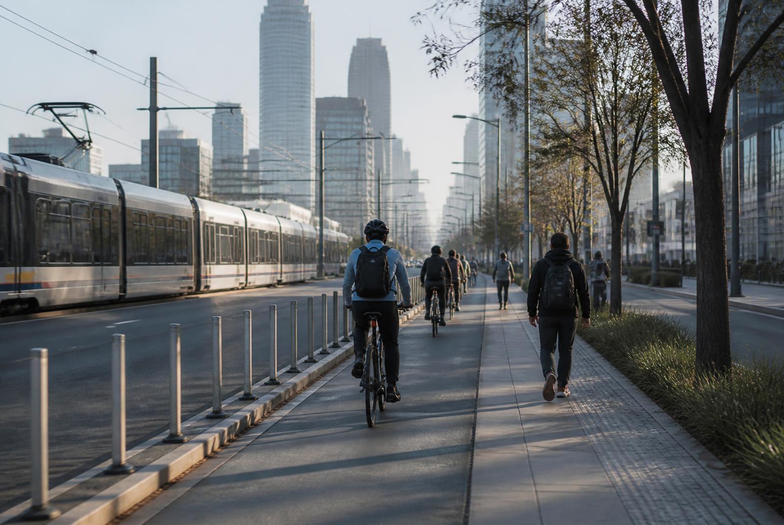
Morning commuters cycling and walking a protected lane beside the South End light rail

Getting Around

How to Actually Get Around South End

South End's commute picture is genuinely multi-modal, but each option — driving, transit, or biking — comes with its own real tradeoffs worth understanding before you move.

Light rail served

Multiple stations within the district

Short hop

To uptown Charlotte

Bike-friendly

Rail Trail and connected lanes

Parking varies

By building and block

Driving in and out of South End

South End sits close to uptown Charlotte and connects to the broader road network via a handful of main corridors, making driving in and out of the neighborhood straightforward on paper, though traffic on the district's core streets can be heavy during peak commuting hours and weekend evenings.

Because South End's street grid is dense and mixed with pedestrian and bike traffic, driving through the core of the neighborhood is often slower than its short distance to uptown would suggest, especially on Camden Road and other retail-heavy corridors.

Residents who drive regularly generally learn which streets serve as faster through-routes versus which are better avoided during peak restaurant and bar hours, when pedestrian volume and valet or loading activity can back up traffic.

Light rail and transit

The Lynx Blue Line runs directly through South End with multiple stations, giving residents a genuine alternative to driving for trips into uptown and beyond, along the line toward other Charlotte neighborhoods and university-area destinations.

For commuters working uptown, the light rail is often the single best reason to choose South End over another neighborhood, since it removes both the drive and the parking cost from a daily commute.

Beyond commuting, the rail line also supports South End's nightlife and event scene by giving residents and visitors a way to reach uptown attractions or return home from a night out without driving.

Biking and micromobility

The Rail Trail and a growing network of connected bike lanes make South End one of the more bike-friendly districts in Charlotte, supporting both fitness-focused cycling and practical, errand-running trips within and beyond the neighborhood.

Bike-share and scooter services are commonly used in the neighborhood for short trips, particularly between the light rail stations and final destinations that fall just outside comfortable walking distance.

Riders should be aware that trail traffic can be heavy on weekends, mixing cyclists with runners and pedestrians, which calls for a more cautious pace than an early weekday morning ride.

Getting to and from the airport

Charlotte Douglas International Airport is a relatively short drive from South End, making airport runs one of the more convenient aspects of the neighborhood's location compared to more distant parts of the Charlotte metro.

Rideshare services are the most common way residents handle airport trips, given the short distance and the hassle of long-term parking, though driving and using airport parking remains a viable option for those who prefer it.

Traffic patterns around the airport corridor can vary depending on time of day, so residents with early or late flights generally build in some buffer time despite the short overall distance.

Parking realities

Parking is one of the more variable aspects of life in South End, differing significantly by building age, type, and location. Newer construction typically includes dedicated resident parking, often at an additional cost, while older buildings and standalone units may rely more heavily on street parking.

Street parking in the neighborhood's busiest retail and restaurant corridors can be genuinely difficult to find during peak evening and weekend hours, which is a real consideration for residents without dedicated parking and for visitors planning a night out.

Several paid parking lots and garages serve the district's commercial core, providing an alternative for visitors, though residents relying on these regularly should factor in the added cost compared to dedicated building parking.

Choosing a commute strategy that fits your life

The right combination of driving, transit, and biking in South End depends heavily on where you work and how often you need to leave the immediate neighborhood. Uptown commuters are generally best served by leaning on the light rail, while those working farther out may find driving unavoidable.

Many residents end up using a genuine mix — light rail for uptown commuting, biking or walking for neighborhood errands, and a car reserved for larger grocery runs, airport trips, or destinations outside the immediate area.

New residents are well served by testing their actual commute pattern before committing to a specific building's parking situation, since the cost and convenience tradeoffs of each option can meaningfully affect both budget and daily routine.

At a glance

What matters most here

Light rail is the standout option

The Lynx Blue Line makes South End one of Charlotte's most transit-accessible neighborhoods.

Driving through the core is slower than it looks

Dense pedestrian and retail activity on main corridors can slow driving despite short distances.

Airport access is genuinely convenient

South End's location keeps the drive to Charlotte Douglas relatively short.

Parking varies building to building

Newer construction typically includes dedicated parking; older buildings lean more on street parking.

Orientation

Where this sits in South End

Everything in the district is measured against the Blue Line and the Rail Trail. Use the map to place the blocks referenced above.

N ↑Morehead StEast/West BlvdTremont AveUptown CharlotteCarson StationBland Street StationEast/West Blvd StationNew Bern StationCharlotte Rail TrailAtherton MillDesign DistrictBrewery RowWilmoreDilworthSedgefieldLoSoLowe's Tech Hub

Interactive map

Hover or tap a marker

The Blue Line runs the length of South End on a northeast–southwest diagonal, with the Rail Trail beside it. Nearly everything in the district is measured by how far it sits from that spine.

  • Blue Line station
  • Landmark
  • Sub-district
  • Employer / anchor

Answered

Questions & Answers

Is South End walkable to uptown Charlotte?

Some parts of South End are within a longer walk of uptown, but most residents use the light rail for that trip rather than walking regularly, since it's faster and removes the need to navigate the connecting corridors on foot.

Source: Charlotte Area Transit System — LYNX Blue Line

Where do you park in South End?

Parking depends on the building — newer construction generally includes dedicated resident parking, often at an added cost, while older buildings may rely more on street parking, which can be difficult to find during peak evening hours in busy corridors.

Source: Mecklenburg County Park & Recreation

Can you commute to uptown Charlotte from South End without a car?

Yes, the Lynx Blue Line runs directly through South End with multiple stations, making a car-free commute to uptown genuinely practical for many residents, which is one of the neighborhood's biggest transit advantages.

Source: Charlotte Area Transit System — LYNX Blue Line

How far is South End from Charlotte Douglas Airport?

South End is a relatively short drive from the airport compared to many other Charlotte neighborhoods, and many residents use rideshare services for the trip rather than dealing with long-term parking.

Source: Mecklenburg County Park & Recreation

Is traffic bad in South End?

Main corridors like Camden Road can see heavy traffic during peak commuting hours and weekend evenings, partly due to the mix of vehicle, pedestrian, and bike activity in the neighborhood's dense retail core.

Source: Charlotte Rail Trail — Charlotte Center City Partners

Is South End bike-friendly?

Yes, the Rail Trail and connected bike lanes make South End one of Charlotte's more bike-friendly districts, supporting both fitness cycling and practical errand trips, though weekend trail traffic requires a more cautious pace.

Source: Charlotte Rail Trail — Charlotte Center City Partners

Primary Sources

Figures are compiled from public records and primary sources and are reviewed periodically. Conditions in South End change quickly — verify anything you intend to rely on.