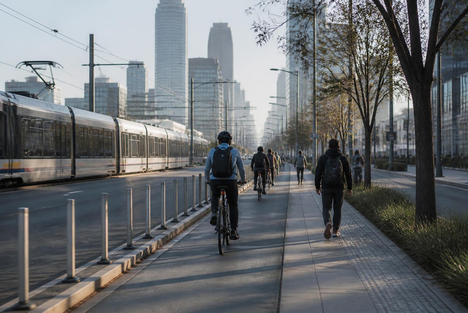
Morning commuters cycling and walking a protected lane beside the South End light rail

On Foot

How Walkable Is South End, Charlotte?

South End is one of the few Charlotte districts where daily life on foot is realistic. It is also uneven — walkability here is measured in blocks from the Rail Trail, not in neighborhood averages.

Rail Trail

Primary pedestrian spine

Multiple

Blue Line stations in district

Varies by block

Sidewalk continuity

Arterial

South Boulevard crossings

The Rail Trail is why this works

Most Charlotte neighborhoods rely on sidewalks beside traffic. South End has something better: a continuous greenway running the length of the district beside the light-rail line, connecting stations, restaurants, breweries, offices, and apartment lobbies without a car in the way. It functions as the district's main street even though no street sign says so.

That single piece of infrastructure changes the calculation of daily life. Errands, dinner, the gym, and the commute all funnel onto the same path, which is why buildings advertise their distance from the trail and why activity thins noticeably as you move away from it. When people describe South End as walkable, they are usually describing the trail and the two or three blocks flanking it.

Where walkability weakens

South Boulevard is an arterial road, and crossing it on foot is a different experience from strolling the trail: wider crossings, higher speeds, and longer signal waits. The same is true at points along Tryon Street and where the district meets the interstate loop toward Uptown. These are crossable, but they are the seams where the pleasant version of South End ends.

The southern and western edges toward LoSo and the industrial fringe have longer blocks, more curb cuts, and less continuous sidewalk. Construction is another live factor: an active site can close a sidewalk for months and reroute a walk you assumed was permanent. Anyone evaluating a specific address should walk the actual route to the station and the grocery store rather than trusting a map line.

  • Wide arterial crossings at South Boulevard and Tryon Street
  • Longer, less continuous blocks at the industrial edges
  • Construction detours can close sidewalks temporarily
  • Rail crossings shape which routes are actually direct

Errands you can do on foot

The realistic on-foot list in the core of South End includes coffee, restaurants and breweries, gyms and fitness studios, salons, pharmacies, pet supplies, and a grocery run depending on where you land. Many residents also handle their commute on foot to a station rather than by car.

The list that usually still requires a car or a rideshare includes big-box shopping, airport trips, weekend travel, and visits to neighborhoods off the Blue Line. That is the honest version of car-optional: fewer trips, not zero trips. Households that drop to one car generally do so because the second car sat unused, not because driving became impossible.

About walk scores

Third-party walk scores appear in nearly every listing for the district. They are useful as a rough signal and unreliable as a decision tool: they measure proximity to categories of destinations, not the quality of the route, the safety of the crossing, or whether the sidewalk is currently open.

Rather than quoting a number, we suggest checking the score at the source alongside the city's own pedestrian and transportation planning materials, then testing the route yourself. A building with a lower score and a direct trail connection often walks better than one with a higher score behind a parking deck and an arterial crossing.

Walking with a bike, a stroller, or a dog

The trail carries pedestrians, runners, cyclists, scooters, and dogs simultaneously, and at peak times it is busy enough that etiquette matters. Cyclists commuting through at speed and groups walking four abreast are the usual friction. Wider segments handle it well; pinch points at street crossings do not.

Strollers and dogs are common and well accommodated on the trail itself. Off-trail, curb ramps and crossing timing are the variables worth checking. Several buildings maintain dog runs precisely because the nearest true off-leash space may not be walkable from every address.

How to test a specific address

Do three walks before committing: to the nearest Blue Line station, to the nearest grocery store, and to the block you expect to eat on. Do at least one of them after dark. Note the crossings, the lighting, and whether the sidewalk is continuous the entire way.

Then repeat the station walk on a weekday morning. Rush-hour trail traffic, construction detours, and event closures reveal themselves at the times you will actually be using the route, and rarely at noon on a Sunday.

At a glance

What matters most here

Measured from the trail

Walkability in South End falls off with distance from the Rail Trail more than with distance from anything else.

Arterials are the seams

South Boulevard crossings are the least pleasant part of walking the district.

Car-optional, not car-free

Daily needs are walkable; airport, big-box, and off-line trips generally are not.

Walk it after dark

Lighting and crossing comfort change substantially at night.

Answered

Questions & Answers

Is South End Charlotte walkable?

Yes, in the corridor flanking the Rail Trail, where restaurants, gyms, groceries, and light-rail stations are typically within a short walk. Walkability declines toward the arterial edges and the industrial fringe.

Source: Charlotte Area Transit System — LYNX Blue Line

Can you live in South End without a car?

Many residents do, using the Blue Line for Uptown trips and the Rail Trail for everything nearby. Airport runs, weekend travel, and big-box shopping usually still call for a car or rideshare.

Source: Charlotte Area Transit System — LYNX Blue Line

What is the Rail Trail?

A continuous greenway running alongside the LYNX Blue Line through South End, used for walking, running, and cycling. It functions as the district's pedestrian main street.

Source: Charlotte Area Transit System — LYNX Blue Line

Are the sidewalks continuous throughout South End?

Not everywhere. The core blocks are well served, but continuity weakens at the industrial edges and can be interrupted temporarily by active construction.

Source: City of Charlotte

How reliable are walk scores for South End?

They are a rough proximity signal. They do not account for crossing quality, route directness, lighting, or construction closures, so verify by walking the specific route.

Source: City of Charlotte

Is it easy to cross South Boulevard on foot?

It is an arterial road with wide crossings and higher speeds. Crossings are signalized at major intersections but are noticeably less pleasant than walking the trail.

Source: City of Charlotte

Primary Sources

Figures are compiled from public records and primary sources and are reviewed periodically. Conditions in South End change quickly — verify anything you intend to rely on.