
Charlotte · North Carolina · 28203
South End Charlotte, NC — The Complete Local Guide
The independent guide to Charlotte's densest, fastest-changing district — apartments, condos and townhomes, restaurants and breweries, the Rail Trail and LYNX Blue Line, new development, and what daily life here is actually like.
4
Blue Line stations
1890s–2020s
Building eras in one mile
~2.5 mi
Of continuous Rail Trail
9
Sub-districts covered
South End Charlotte at a glance
- What it is
- A dense, transit-served district of Charlotte, North Carolina, built along a former textile-mill rail corridor immediately southwest of Uptown.
- Where it is
- Between Uptown to the northeast and Sedgefield and LoSo to the southwest, with Dilworth to the east and Wilmore to the west. Most of it sits in the 28203 ZIP code.
- Getting around
- The LYNX Blue Line light rail runs the length of the district, and the Charlotte Rail Trail parallels it as a continuous walking and cycling spine.
- Housing
- Predominantly attached housing: mid-rise and high-rise apartments, for-sale condominiums, adaptive-reuse mill lofts, and townhome pockets at the edges.
- Eating and drinking
- One of Charlotte's densest concentrations of restaurants, breweries, coffee shops, and food halls, largely clustered within a few blocks of the Rail Trail.
- Schools
- Served by Charlotte-Mecklenburg Schools. Assignment depends on the exact address and changes over time, so confirm with the CMS school locator.
Boundary descriptions are approximate. South End is a district of Charlotte, not a separate municipality, and it is distinct from neighboring Dilworth, Wilmore, Sedgefield, and Uptown Charlotte.
The District
A mill town that became a skyline in thirty years
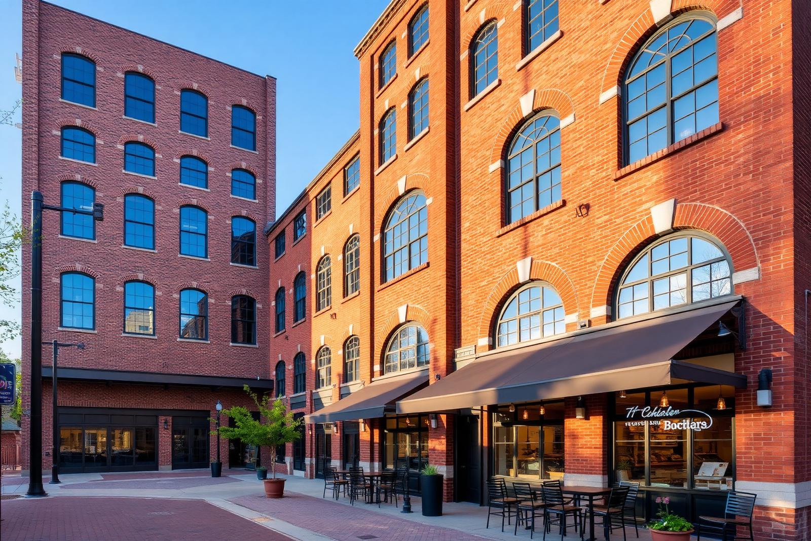
South End is the rarest thing in a Sun Belt city: a place that densified along a rail line instead of a highway. Textile mills gave it bones, the Blue Line gave it a spine, and the Rail Trail gave it a front door.
What that produced is a district you read in layers. Nineteenth-century brick sits under twenty-story glass. A taproom occupies a warehouse that once shipped textile freight. Two blocks change character between one station and the next.
This guide exists because that complexity is genuinely hard to navigate from a listing site. We profile the buildings individually, explain how the market behaves, and tell you which blocks are loud on a Saturday night.
Start Anywhere
Six ways into South End
Every section below links onward to the rest of the guide. No dead ends, no listings, no sales pitch.
Market
South End Real Estate
How the district's condos, lofts, townhomes, and rentals actually trade — and what to inspect before you commit.
Enter →Directory
Buildings & Communities
Every major building in the corridor, profiled: era, construction, amenities, and diligence notes.
Enter →Geography
Sub-Districts
Design District, Rail Trail core, LoSo, Wilmore, Sedgefield — mapped, compared, and explained.
Enter →Eat & Drink
Restaurants & Breweries
The dining map of Charlotte's densest food-and-beer district, block by block.
Enter →The Spine
The Rail Trail
The greenway that turned a rail corridor into the most-walked stretch of pavement in Charlotte.
Enter →Relocating
Moving Here
Employers, taxes, schools, parking, and how to choose a block before you sign anything.
Enter →Orientation
The district, diagrammed
South End runs on a northeast–southwest diagonal. Once you can place the four Blue Line stations, everything else falls into position.
Interactive map
Hover or tap a marker
The Blue Line runs the length of South End on a northeast–southwest diagonal, with the Rail Trail beside it. Nearly everything in the district is measured by how far it sits from that spine.
- Blue Line station
- Landmark
- Sub-district
- Employer / anchor

The Spine
Everything here is measured from the trail
Rents, restaurant traffic, and resale interest all fall off with distance from the Rail Trail. It is the district's true main street, and it does not appear on most maps as one.
Directory
Every building, profiled individually
Condo towers, mill lofts, apartment communities, and townhome rows — each with its era, construction type, amenities, and the diligence items that actually matter in that building.

The Local Network
Four firms we recommend by name
South End rewards specialists. These are the people we send readers to for building, buying, designing, and wiring a home in this district — read our coverage, or go straight to their studios.
Custom Builder
Peters Custom Homes
Estate-grade custom construction and infill homes across Charlotte, including 28203 teardowns and full gut renovations.
peterscustomhomes.com Our coverage →Real Estate
Peters & Associates
Representation for buyers and sellers in South End's condo, loft, and townhome market — plus off-market building intelligence.
yourleaderinluxury.com Our coverage →Interior Design
Emerald & Oak
Full-service interior design and furnishing for hard-loft volumes, tower residences, and new construction.
emeraldoakdesign.com Our coverage →Smart Home & AV
Peters Audio Video
Networking, lighting control, media rooms, and whole-home audio engineered for concrete-and-steel construction.
petersaudiovideo.com Our coverage →Questions
South End, answered
The questions people actually type before they move here, answered plainly and sourced.
- Where exactly is South End in Charlotte?
South End sits immediately southwest of Uptown Charlotte, running along the LYNX Blue Line and South Boulevard from roughly Morehead Street down past New Bern Station. Wilmore borders it to the west, Dilworth to the east, and Sedgefield and LoSo to the south. The 28203 ZIP code covers most of it.
- Is South End a good place to live?
It suits people who want a walkable, transit-served address with dense dining and nightlife within a few blocks. It is less suited to anyone who wants a yard, quiet streets, or an assigned-school-first decision. The tradeoff is density and noise in exchange for genuine car-optional living.
- What kind of housing does South End have?
Overwhelmingly attached: mid-rise and high-rise apartments, a smaller set of for-sale condos, adaptive-reuse mill lofts, and townhome pockets at the edges. Detached single-family housing is found in the bordering neighborhoods of Wilmore, Sedgefield, and Dilworth rather than in the corridor itself.
- Do you need a car in South End?
Many residents keep one but use it less than they expected. The Blue Line reaches Uptown in minutes, the Rail Trail links most of the district on foot, and groceries, gyms, and restaurants are usually within walking distance. Airport trips and weekend travel are where a car still earns its parking space.
- How walkable is South End?
Very, along the Rail Trail spine and the blocks flanking it. Walkability weakens as you move away from the trail toward South Boulevard's wider crossings and the industrial edges of LoSo, where sidewalks are less continuous and blocks get long.
Source: Charlotte Rail Trail — Charlotte Center City Partners
- Which schools serve South End?
Most of 28203 falls within Charlotte-Mecklenburg Schools assignment zones that include Dilworth and Sedgefield elementary campuses, Sedgefield Middle, and Myers Park High, but boundaries change and magnet options add complexity. Always confirm a specific address with the CMS school locator before relying on it.
- What county is South End Charlotte in?
South End is in Mecklenburg County, North Carolina. It is a district within the City of Charlotte, not a separate municipality, so county services, property records, and tax assessment all run through Mecklenburg County.
Source: City of Charlotte
- Where do you park in South End Charlotte?
Mostly in structured decks attached to residential, office, and mixed-use buildings, plus limited metered on-street spaces along Camden Road, Tremont Avenue, and the cross streets to South Boulevard. Almost all of it is paid, and evening rates step up sharply on weekends.
Primary Sources
- Charlotte Area Transit System — LYNX Blue Line
- Charlotte Rail Trail — Charlotte Center City Partners
- Historic South End — South End Municipal Service District
- Charlotte-Mecklenburg Schools school locator
- Canopy Realtor® Association market reports
- Mecklenburg County POLARIS 3G parcel viewer
This guide is compiled from public records and primary sources. It is independent of any developer, brokerage, association, or public agency. Verify anything you intend to rely on.